
Dubai Creek's first recorded plan was in 1822
Dubai Creek was described as "Back-water of Debai"
Survey was by Lieut R. Cogan under the direction of Lt. J.M. Guy, H.C.Marine. 1822.
Plan was Drawn by M. Houghton’
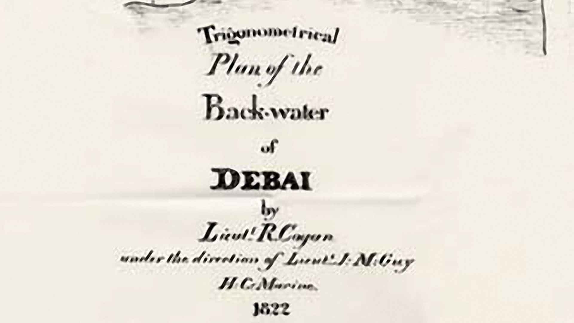
Original - Qatar Archives
Dubai Creek became unnavigable in the early 1950s due to sand build up.
Sandbanks and Sandbars created hazards for Dhows.
Dubai's trade was adversely affected as fewer Dhows found their way safely into Dubai Creek.In 1953 Dubai developed a Plan to remove sand build up by dredging Dubai Creek
And prevent future sand build up so Dubai's trade activity could be restored.
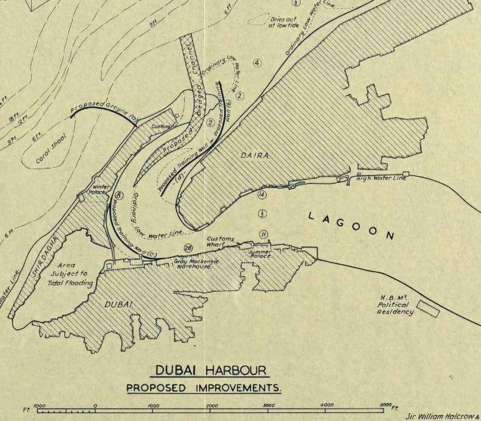
Plan shows Dubai Creek flooded area adjacent to Sheikh Saeed's Palace, cutting off Shindaga from Dubai.
Dubai Creek was still in its "natural" state in the 1950s.
Its "beachside" edges were measured by the rise and fall of the tide.
Buildings extended down to the high tide level.
There were no wharves or creekside walkways.
Nevil Allen of Sir William Halcrow and Partners developed a plan to resolve the problem.
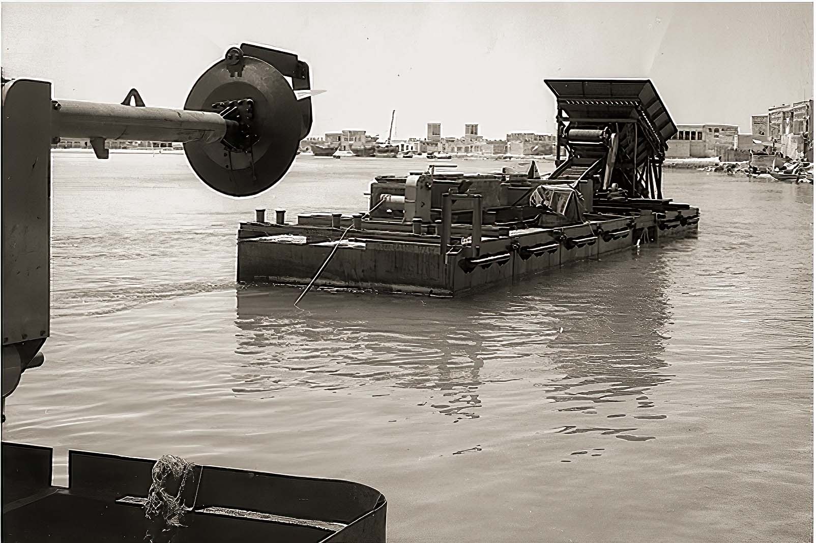
Overseas AST were given the task of removing sand build up from Dubai Creek.
They imported specialist Dredgers for the task. Work started in 1959.
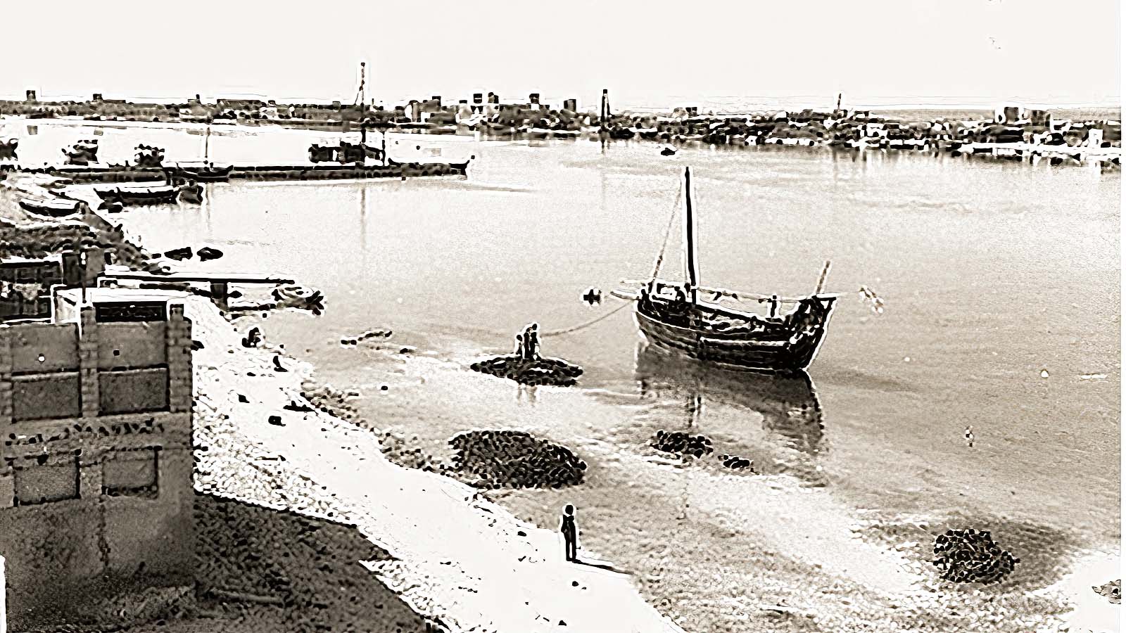
Dubai Creek had become unnavigable due to sand silting.
Sheikh Rashid appointed Sir William Halcrow and Partners as Consulting Engineers to resolve the problem.
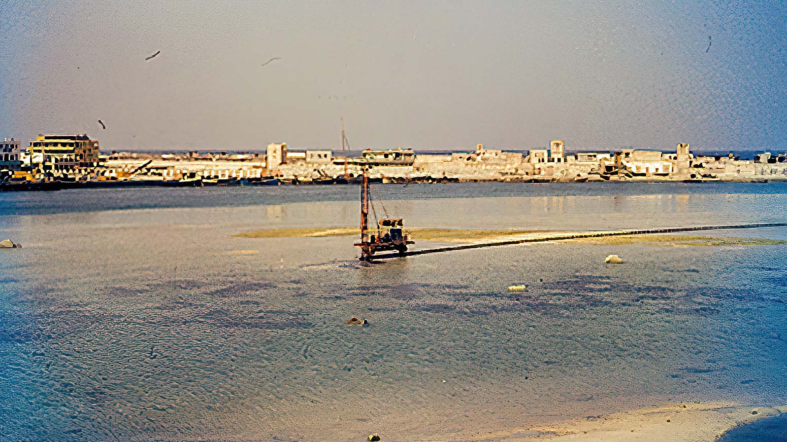
Solution was to build retaining walls along the Creek sides and dredge Dubai Creek to a working depth.
Looking from Shindaga to Khor Dubai
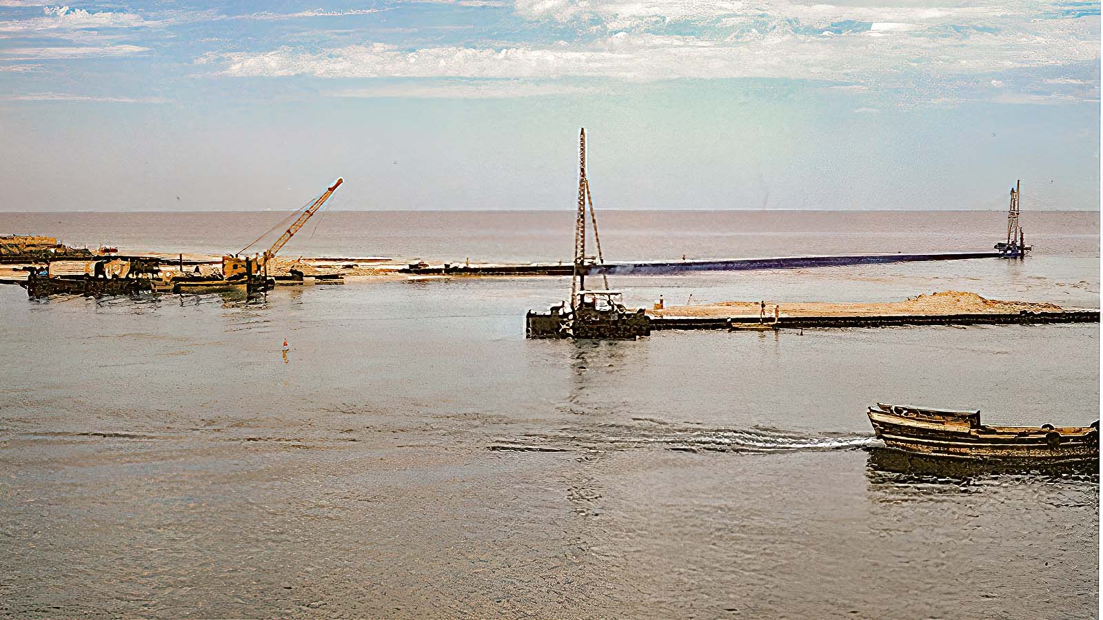
Overseas AST was appointed to carry out the work.
Here retaining walls are being built at the entrance to Dubai Creek
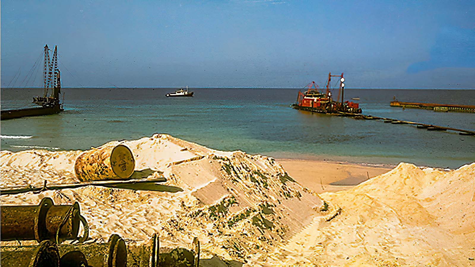
Overseas AST Dredger working at deepening Dubai Creek with dredged material used to fill in behind the new retaining walls
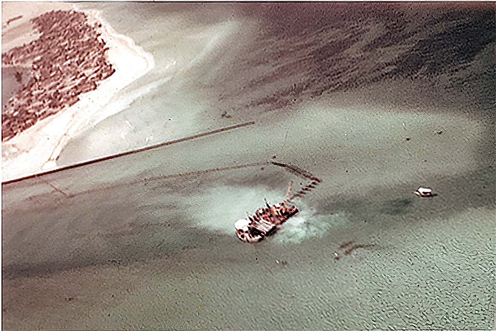
Shows Dredger working off Shindaga at Dubai Creek Entrance
Images Copyright: Ludwig Hejze
Ludwig was Dredge Master for Overseas AST and took these images while working on Dubai Creek Dredging in 1959
Ludwig has kindly provided these historic images for display on DAIUTB.